
The drafting marks in Kenshi's heightmapReport
English:The drafting marks in Kenshi's heightmap · Other
Kenshi's terrain heightmap, fullmap.tif, was painted in Photoshop in 2017. Out in the open ocean — where the file records no bathymetry at all — a few deliberate marks were drawn, the clearest being a circle containing a hatched right triangle. All of them sit below sea level, so the game has never drawn them and nobody has seen them since release. This page records how I found them, how I verified them, and which claims I can and cannot stand behind.
It started because I needed real elevation, not screenshots
To rebuild Kenshi's world 1:1 as Minecraft terrain (one game unit per block, 29,491 blocks across), I had to read the game's own elevation data rather than trace screenshots. That data lives in newland/land/fullmap.tif: 16385 × 16385, 16-bit greyscale, uncompressed. One pixel is 1.8 blocks of terrain.
The file's rule is simple: greyscale 195 is sea level. Above 195 is land, below is underwater.
While checking my coastlines against it, I kept finding things in the shallows that had no business being there.
Three locations
Coordinates are the in-game position readout:
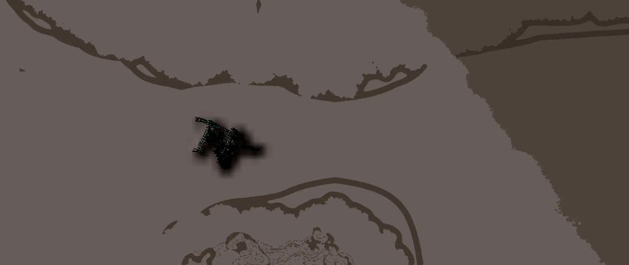
~(640, 7507) — a circle containing a right triangle, the triangle filled with parallel hatching. Roughly 350 × 380 blocks. This is the clearest of the three: clean lines, consistent stroke width, and hatching that is unmistakably deliberate.


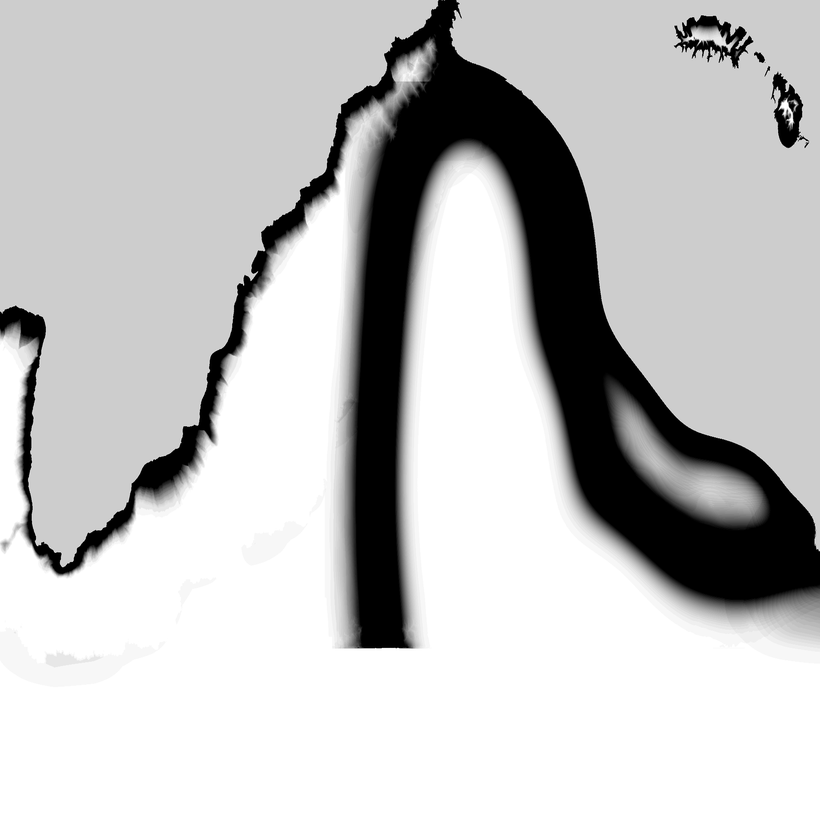
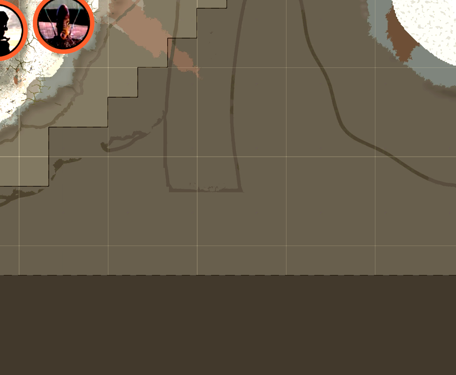
~(20282, 28813) — a broad band that follows the coastline and tapers to a point, with several fairly straight edges.
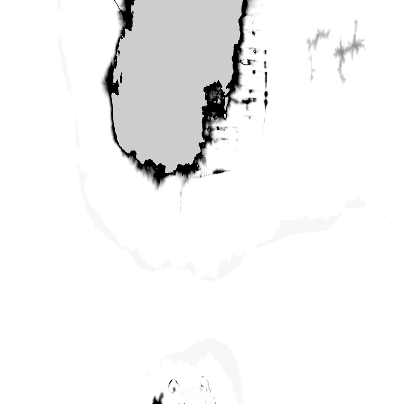
~(13964, 29458) — a smooth arc pressed against the southern world edge and clipped by it.
That ocean was a blank sheet
This is the crux, and the easiest part to get wrong.
My first reading was that these were shallow ridges raised slightly above the seabed. Measuring a profile through them showed otherwise. The open ocean in this file reads greyscale 0, and Kenshi's own data notes are explicit about what that means: 0 marks open sea with no depth data — not zero depth, but nothing measured at all.
The pixels the marks occupy read 2 to 66. Which means:
That ocean is a single blank expanse with no data in it, and these lines are the only structure anywhere in it.
They are not part of the seabed. They are marks drawn onto a canvas that was otherwise empty.
The Photoshop timestamp
The TIFF metadata survived intact:
| Field | Value |
|---|---|
| Software | Adobe Photoshop CS6 (Windows) |
| DateTime | 2017-09-25 15:03:57 |
| Format | 16385 × 16385, 16-bit greyscale, uncompressed |
September 2017, roughly a year before 1.0. Hand-painting an entire continent's elevation in Photoshop makes complete sense for a small studio. And when you paint a map in Photoshop, your layer stack ends up holding borders, scale bars, register marks. Somewhere in a flatten, some of that went into the elevation channel and shipped.
Why nobody has seen this
This is my favourite part.
Every one of these shapes sits between greyscale 2 and 66, and sea level is 195. They have always been underwater.
Kenshi does not render submerged terrain as anything you would notice — below the waterline is water. So a set of hand-drawn drafting marks has sat on the seafloor since release, perfectly preserved and completely invisible, because the one thing that would reveal them — treating the seabed as terrain — is the one thing the game never does.
A 1:1 voxel conversion does exactly that. Negative elevations become tidal flats, tidal flats get a different block than open ocean, and a 350-block-wide circular mark appears off the west coast.
They are in the rebuilt world now. I did not put them there.
The "abandoned continent" reading
One reading holds that because there are map borders, arcs and survey emblems out in deep water, the current playable continent was not the whole original canvas — that a wider layout was sketched and later submerged, leaving only the artist's structural linework.
That argument moves from "there is decoration on the canvas" to "there was once land on the canvas". Those are different claims. What I can demonstrate is that non-zero elevation values exist there, the shapes are geometric, and the file is dated 2017. I cannot show from this data that those lines were ever walkable terrain. On the present evidence, "a Photoshop flatten pushed decoration into the elevation channel" is the more economical explanation.
This is exactly what the site's Disclaimer and Lore Reliability page is about: speculation should not be written as conclusion.
Check it yourself
If you own the game, the file is at newland/land/fullmap.tif in your Kenshi directory. Open it in anything that reads 16-bit TIFF and stretch the levels so the 0–66 band fills the histogram; the marks jump straight out. The clearest one is at TIFF pixel (x=355, y=4170).
The other two: the coastal band at (x=11268, y=16008), the arc at (x=7758, y=16366).
If you would rather just look at terrain, this site's The Map of Kenshi uses the 1:1 rebuild as its default basemap and has a sea-level slider that will drain the ocean for you. I built that slider to check coastlines. It turns out to be an archaeology tool as well.
What I verified and what I did not
Being clear about this matters more than telling a tidy story:
- The circular mark at (640, 7507): solid. Pixel-confirmed against the shipped file, profiled, and present in the source before any conversion of mine touches it.
- The arc at (13964, 29458): circumstantial only. It sits on the extreme southern edge (TIFF row 16366 of 16385) and half my sampling window falls outside the data. I can see it in my converted heightmap and in the rebuilt world, but I have not pinned it to source pixels the way I did the other two.
- (20282, 28813) needs a correction to my own earlier account. On the external viewer I first used, that area showed clear straight lines and right angles that looked like a hand-drawn frame. Turning off that viewer's region boundary layer made the stair-stepped lines vanish — they were the viewer's own administrative borders, not terrain. A genuine smooth band does remain underneath, but whether it is decoration or simply seabed I cannot currently tell.
- Do not confuse the two similarly-named files.
land/fullmap.ddsis the hand-drawn map texture you see in-game (1024²).newland/land/fullmap.tifis terrain elevation. Everything on this page concerns the latter. I checked the former at (20282, 28813) and it is blank there, so I am not claiming these marks also appear on the in-game map.
What this does establish
If anyone assumed Kenshi's terrain was procedural noise or the output of an erosion algorithm, this file settles it. It is a landmass drawn by hand on a digital drawing board, drawn carefully enough that the draughtsman's own marks are still on it.
Further reading: Unpacking the game files, Disclaimer and Lore Reliability.